Getting Started with Measure's integration for image annotation and analysis.
Overview
Scopito is a tool that allows users to perform annotations and analyses on their imagery.
Getting Started
To start using Scopito, log in to Ground Control. From here, click Process Data, then choose Inspection & Annotation:
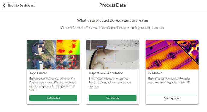
If you've made other data products on Ground Control like Topo Bundles, this process should look pretty familiar to you. From here, either fill in the information for a new mission or choose an existing mission for this Scopito project to be added to:
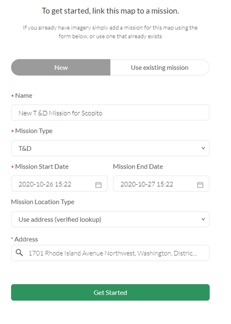
Enter a product name, and any additional information requested.
If you're working with T & D data, you will need to enter the number of assets inspected.
If you're working with Wind data, your images will be automatically sorted by asset based on the labeling scheme used.
Then, choose the imagery dataset you'd like to use:
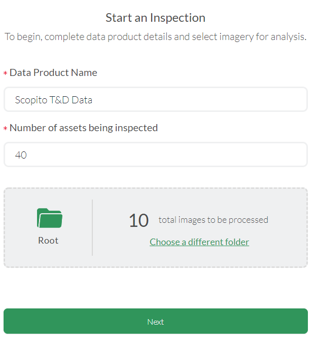
Then click next (or Start Sorting) and submit. This next page may look a bit different depending on mission type:
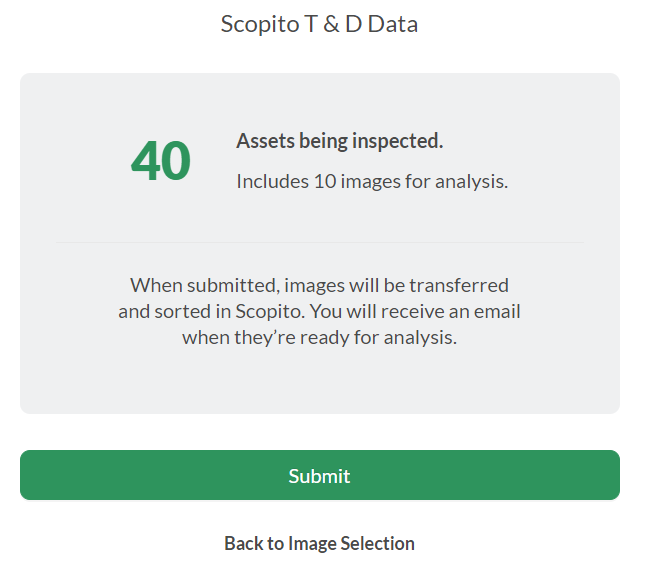
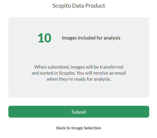
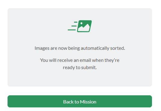
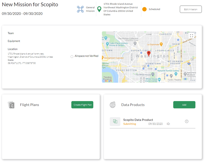
Your Data Product will now process. You can see the product and its status in the data products menu of the mission:
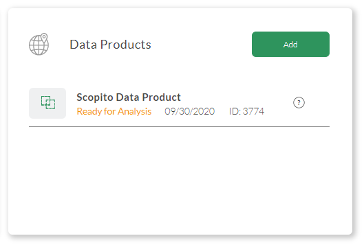
Once the data product is ready, you will receive an email notification, and the status will change to ready for analysis in Ground Control:
Related Articles
- Data Products Available through MGC
- Analyzing Data with Scopito
- Creating Reports with Scopito
- Scopito Video Tutorial
Have questions or feedback? Please contact support.groundcontrol@ageagle.com
