How to access your LAS (Point Cloud) file for your data product
When a data project is submitted for processing with Pix4D, a LAS (Point Cloud) file is generated amongst other files. Currently, we only have 3D Point Clouds available via a web viewer, accessible by clicking the link shown below:
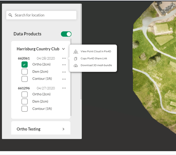
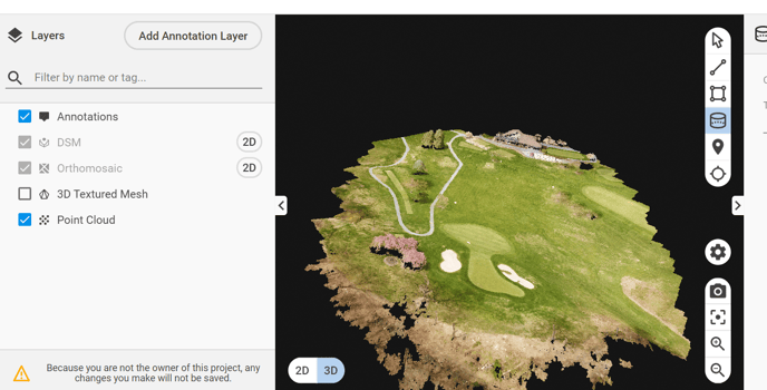
This will push you into the Pix4D 3D PointCloud viewer where you can extract measurements, make annotations, and as the owner, save these for later review:
As you saw in the first image, the 3D mesh bundle is also available for download, but given the size and complexities of point clouds, Measure has not yet exposed the functionality to download LAS files within the MapViewer.
In the interim, while we work to make this feature available, please send an email to support@measure.com or fill out the form at https://ageagle.com/support/
Please include the project number (a 6-digit number found from either the Mission details or the MapViewer page) in your email/message. We will then manually send you the LAS file via a secure share link.
Related Articles
Have questions or feedback? Please contact support.groundcontrol@ageagle.com