This article will review some of the steps that you can take to help determine the cause of any errors in the processing of your maps.
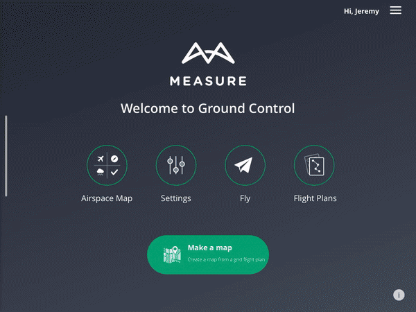
Overview
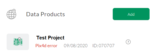
If there is an error in processing your imagery through Pix4D, you will receive an error message in Measure Ground Control like so:
You will also receive an email informing you that there was an error in processing your projects.
There are a variety of factors that can cause errors with processing your map in Pix4D. These can include the following:
- Unsupported imagery
- Homogenous Surface
- Very large datasets
Unsupported Imagery
Measure Ground Control combined with Pix4D is meant to process topographic aerial imagery in JPEG or TIFF format, captured across a plane, and must include EXIF tags with location data. Imagery must have significant overlap. Flights should generally be flown in nadir (camera angle down, gimbal angle at -90 degrees).
The following types of datasets are unsupported:
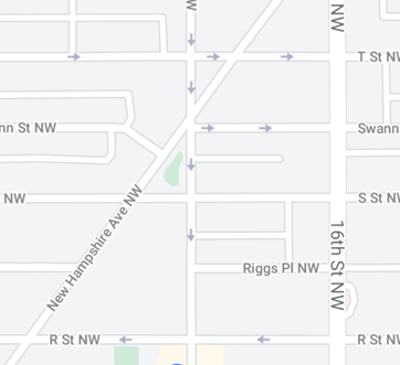
- Vertical Imagery - Examples include vertically captured structures like tall buildings and cell towers. Our tools currently cannot process imagery captured parallel to the length of a vertical structure like a skyscraper or a cell tower.
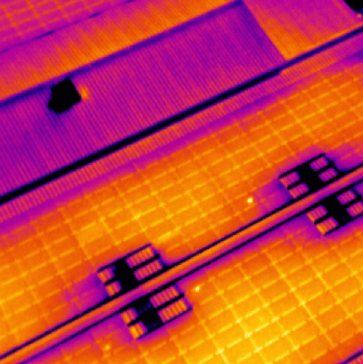
- Non-satellite imagery - Imagery submitted for processing like thermal infrared or non-satellite imagery is currently not supported:
Homogenous Surfaces
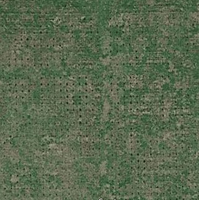
When patches of aerial imagery aesthetically are very similar to one another, our tools may experience some difficulty stitching orthomosaics and DSMs correctly. This is particularly more likely to occur in certain agricultural sites like tree canopies, bodies of water, and farm fields:
In some cases, particularly with canopy, it may be helpful to try reflying the flight using an oblique camera angle. To use an oblique camera angle, do the following:
If you receive processing errors and your data product has significant unvaried imagery, please contact support.
Very Large Datasets
If the imagery dataset for your data product is approaching 1000 images or more, you may experience some issues with viewing/downloading your orthomosaic and other related files. If you need additional assistance, please contact support.
Check_done
Occasionally, projects require extra time to process/render in Ground Control. You may see a project status of check_done on your project while it is completing all processing. If you see the status of check_done for more than 3 hours, please contact support.
Processing Error
Occasionally, projects have difficulty loading properly in MGC once they have been processed via Pix4D. If you see the status of Processing Error on your project please contact support.
Pix4D Quality Reports
Depending on the error in your project, you may see a quality report for your data product in Ground Control if one was generated by Pix4D:

Examining this data report can give you a better idea of what went wrong with processing your imagery. Check out this video from Pix4D regarding how to read your data quality report.
Related Articles
- Create a Map in Ground Control
- Data Products Available through MGC
- How to use Ground Control Points (GCPs)
Have questions or feedback? Please contact support.groundcontrol@ageagle.com