How to organize/manage your data products in Ground Control
Managing Data Products
Managing Data Products in Measure Ground Control
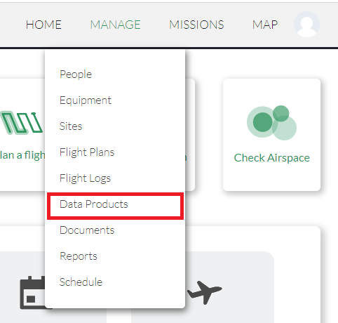
Data Products are one of the core features of Measure Ground Control. They allow organizations to create high-quality orthomosaics, DSMs, contour maps, 3D point clouds, and meshes through our integration with Pix4D, as well as perform image inspections/annotations through our integration with Scopito (coming soon). Data Products are managed from the Data Products menu in the Manage dropdown:
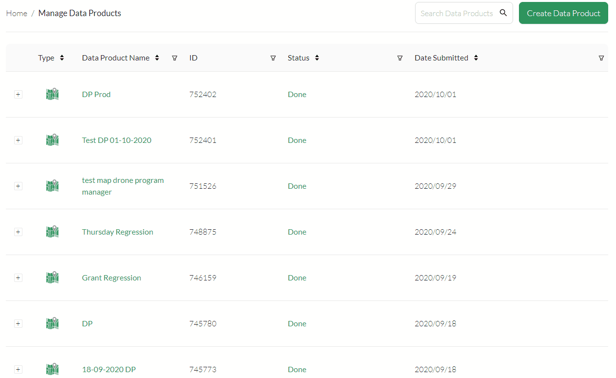
Manage Existing Data Products
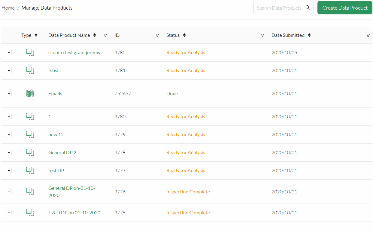
The Manage Data Products screen provides an overview of all Data Products in your program. By default, Data Products are sorted by Date Submitted. Data Products can be sorted and filtered by:
- Type
- Data Product Name
- ID
- Status
- Date Submitted
- Mission Associated
- Created By
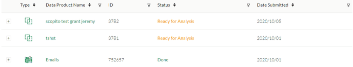
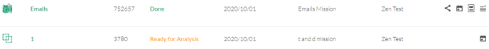
If you don't see all 8 columns, try clicking the plus button to the left of a Data Product name:
To view a data product, click on it to bring up the Mapviewer(maps), or Scopito (annotations):

Data Product Actions
Depending on the type of data product, there are various actions you can perform as well.
For Pix4D Maps (first product shown above):
- Share project - Copies the Pix4D share link to the clipboard so others can view your project.
- View Mission - Opens the mission associated with the map.
- Quality Report - Downloads the quality report for your map as a PDF.
- Log - Downloads the processing log for your report.
For Scopito projects (coming soon):
- View Mission - Opens the mission associated with the map.
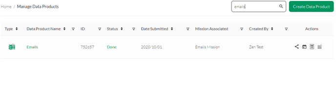
Searching for existing Data Products
In the top right of the Manage Data Products page, you can search for Data Products based on Data Product Name:
 Creating new Data Products
To create a new data product, click the Create Data Product button. From here, you can choose whether you want to make a topographic map, perform image inspections/annotations:
Related Articles
Have questions or feedback? Please contact support.groundcontrol@ageagle.com